Aerial photographs can be an invaluable source for studying changing landscapes and evolving communities. At the smallest level, they can be used to trace changes to individual properties and gardens, whilst at the greatest level they can show the development of roads and railways, urban expansion and industrial decline. In many cases, aerial photography provides the only visual record of vanished buildings and other features considered to be of little interest at the time. The images can also be useful for tracing archaeological features (such as field layouts and earthworks) which cannot be distinguished at ground level.
Aerial photography is a relatively recent documentary medium. With advances in both photography and aviation, aerial reconnaissance became a key tool during World War II (1939-1945). After the war aerial surveys continued to be made for administrative and planning purposes, but their value for historical and archaeological research was also recognized. Today, satellite technology continues to provide aerial surveys through resources such as Google Earth.
Staffordshire Record Office holds a series of aerial surveys of the county, the earliest of which is 1948 and the latest 1999/2000. The aerial photographs are all vertical surveys, at an approximate scale of 1:10 000; the images before the 1991 survey are black and white.
It is worth noting that the surveys are limited by the quality of the camera that took the original image, as well as weather conditions and the quality of the light at the time the photograph was taken. Unlike modern satellite imaging, which can zoom in to an incredible amount of detail given the distance, historical aerial photographs can only be enlarged so far before the details become too indistinct to be helpful. (Please see above samples from each of our aerial photograph collections for reference).
In each survey there are occasional gaps, but overall coverage is generally good. Unfortunately, none of our aerial surveys cover the Peak District area on the very north-eastern edge of the county.

Although referred to as the 1948 series, a few images date back to 1945 and some as late 1950. The survey was undertaken by the Ministry of Defence, and is particularly useful for studying the county in the immediate aftermath of World War II (remains of wartime activity, such as airfields and Prisoner of War camps can clearly be seen) and before urban expansion in later decades. In some cases, archaeological evidence eradicated by later agricultural activity has been captured.
Additionally to the vertical survey main series, there is a small series of low-level oblique surveys from 1948 centring on Stafford and Lichfield. Oblique photographs were taken at a much lower level at a diagonal angle, recording details of structures and landscapes that are not visible in the vertical images.
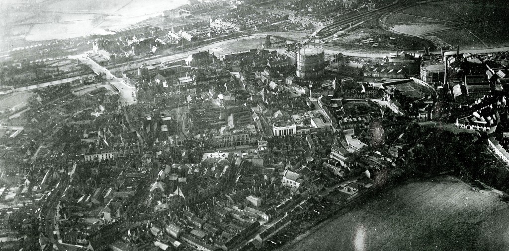
(SRO – CPE/UK/2443 Frame 0365)
The later surveys (1963, 1968, 1971, 1981, 1991 and 1999/2000) were undertaken by private companies. These do not include any oblique views, although other examples can be found on our Staffordshire Past Track website.
The 1968 series was commissioned by the National Coal Board, so relates mainly to the coal mining areas of the county, such as Cannock Chase.
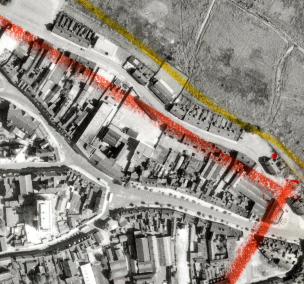
Images from the surveys can be copied with the exception of those from 1999/2000 (due to copyright restrictions). The surveys are divided into runs, films and frames, with images being identified using a set of printed key grids. These are usually available for consultation in our search room, but during the current construction phase of our project we are unable to provide public access. However, we are still able to supply digital copies for remote users.

If you are interested in obtaining digital copies of the 1963 and 1971 series you can use this interactive online map to get the exact photograph references. If you zoom into the correct area on the map first, then there is a ‘burger’ menu to the top left corner of the page which will allow you to select map features. You can then select to see the 1963 or 1971 aerial photo indexes Clicking on the red box will then let you know the run and frame numbers which reference our collections.
At present, only the 1963 and 1971 series are available to search on the interactive map. Photographs appearing in the other series will require us to search on the printed key grids, so please be sure to provide an address for us to search on your behalf. For further information about aerial photograph coverage or to place an order, please contact our Enquiries Team.
Other online collections of aerial and oblique photographs that you might find useful are those at the National Collection of Aerial Photography (NCAP) and Britain from Above (Aerofilms Collection).

